
Lukomir
A shepherds' village at about 1,470 m on the edge of the Rakitnica canyon, among the highest inhabited villages in the country.
- Best time
- Jun–Oct
- How long
- 1 day
- From Sarajevo
- ≈ 1.5 h by car
What to see
- Stone houses with steep wooden roofs
- The rim of the Rakitnica canyon
- Medieval tombstones at the village edge
- Hand-knitted wool socks sold by village women
Visiting respectfully
Lukomir is a working village, not a museum. Ask before photographing people, keep to the paths between the houses and buy something from the families who sell coffee, pies and wool.
Walking
Paths lead along the edge of the Rakitnica canyon and back towards Umoljani. Stay on marked trails, walk with a guide if you want to go into the canyon and carry water: there is little shade on the plateau.
Practical information
- Getting there
Drive via Bjelašnica (Babin Do) and Umoljani; the last part of the road is gravel. It is usually passable from June to October. There is no public transport; many visitors come on a guided day trip or walk in from Umoljani.
- Tickets
Free. A village café sells drinks, pies and handmade woollens.
- Parking
A small parking area at the village entrance.
Prices and hours change. Check before you go.
Local tip: The last stretch is gravel and is often closed by snow in winter. Go with a local guide.
Last checked: 2026-10-17 · Tour links are affiliate links: booking through them supports bosnae.net at no extra cost to you.
Nearby
Combine it with
The three closest places on bosnae.net.
 Adventure
Bjelašnica
The 1984 Olympic mountain for the men's alpine races, 30 km from Sarajevo, with skiing in winter and walks to highland villages in summer.
 Adventure
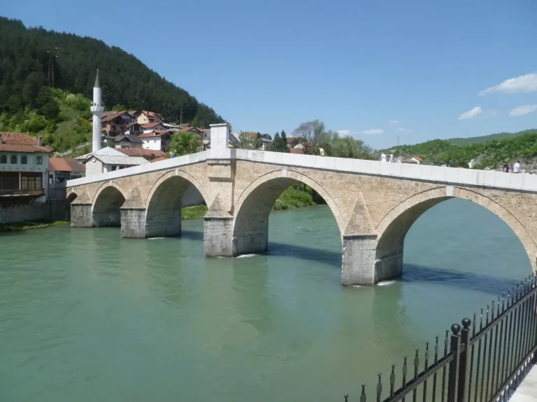
Konjic
A small town on the Neretva with an Ottoman stone bridge, the base for rafting in the upper canyon, and Tito's secret nuclear bunker nearby.
 Nature
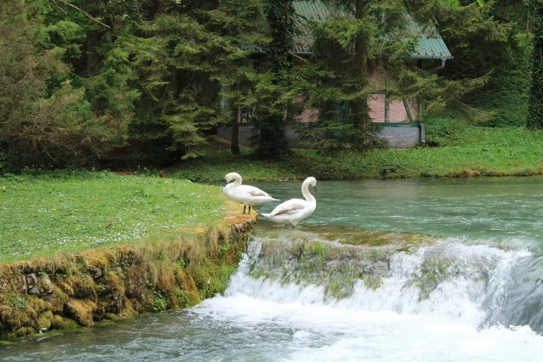
Vrelo Bosne
The spring of the Bosna river: a park of ponds, streams and wooden bridges at the foot of Mount Igman.